
Opening the DEFRA treasure trove will create opportunities for new types of applications in agri-tech, says expert adviser
DEFRA‘s transition to becoming a department that is ‘open by default’ will unlock a treasure trove of data with agricultural potential. Ellen Broad, Expert Adviser to the Secretary of State, says: “Over the course of this next six months, DEFRA will be releasing more data to do with things like groundwater and waterways, erosion, animal movements and plants, all of which could have exciting potential. Because all of these datasets are openly licensed, they’re free for agricultural companies to access, use and share for their own purposes.”
Agriculture in other European countries are benefiting from open data. In the Netherlands, the Boer & Bunder project has aggregated information about cropping, soil types, and crop cover (using NDVI*) to individual fields units using geo-positioned land parcel data. The portal uses historic data obtained from 1.9 million hectares of farmland over the last six years.
Robert Allen, Technical Manager at Greenvale AP, says knowing the history of the land is invaluable when assessing its potential.
“The increase of contract farming and land rentals make understanding field history and rotation increasingly challenging, as fields could be cultivated by a different grower each year. Open access to rotational history data, like the Boer & Bunder platform, would allow land renters and owners to ensure good rotational practices are maintained.”
The aim of the Boer & Bunder project is to demonstrate how open data is a useful tool for growers, and to create a platform to generate ideas as to how data can be exploited, leading to new products and services.
Last year the Environment Agency released data collected by one of the most advanced visualising systems. The process LIDAR (Light Detection And Ranging) uses a laser to scan and map the landscape from above and is widely considered to be the best method for collecting very dense and accurate elevation data across the landscape.
LIDAR data has been used to help the work of the Environment Agency, creating flood models, assessing coastal change and analysing how land is used, and it is now available for wider use.
Ellen Broad continues: “Already we’ve seen the release of key datasets like the LIDAR 3D height data being picked up and used for a range of external purposes, by national parks, urban planners, agricultural data companies, even gamers! This shows the range of potential applications for this data. ”
*The Normalized Difference Vegetation Index (NDVI) is an index of plant “greenness” or photosynthetic activity, and is one of the most commonly used vegetation indices and can indicate growing conditions.

[LIDAR images courtesy of Environment Agency]
Other articles that might interest you
AI identifies crops from space with 90% accuracy
Agrimetrics launches CropLens AI, a proprietary algorithm that identifies crop types from space.
ClearSky: Cloud free satellite data for agriculture
ClearSky's artificial intelligence removes a major barrier to the efficacy of satellite
ClearSky: Cloud free satellite data for agriculture
ClearSky's artificial intelligence removes a major barrier to the efficacy of satellite
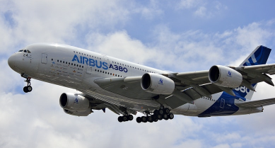
Agrimetrics partners with Airbus to reduce cost
Crop Analytics, a crop and field analytics package from Airbus, is now available at a new, lower price.
Sign up for Agrimetrics newsletter
To get regular updates on new data sets, tips, trends and case studies, please subscribe to the Agrimetrics newsletter.

