
Measuring Nature: Why it is important and what it can do to help your business
With the arrival of the Lunar New Year it seems a good time to review our Measuring Nature series and recap how technology from space can help our understanding of what’s going on on our planet.

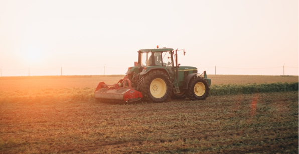
Space technology is understandably perceived by some as a complex and unrelated technology when it comes to agriculture. However, its benefits are substantial and its contribution to our understanding of the impact of farming will only continue to grow. That’s why we set out to explain as simply as we could how satellite imagery of the earth’s surface can help produce valuable insights which can be used to produce better outcomes for farmers, businesses and the planet.
So, what have we learnt so far?
Satellite imagery provides a unique way of mapping, monitoring and managing large areas of the earth’s surface that would be practically and economically impossible, using other methods. We covered this concept in part one of our series where we looked at what ‘Spatial Resolution’ means and how it controls what can be seen within the images; the higher the spatial resolution, the smaller the objects that can be identified.
But how do you actually take images from space? It’s a question that is fundamental to understanding the current capabilities and limitations of earth observation and one we answered in part two of our series. We explored the concept of Spectral Resolution, and learnt that it is a measure of the number of individual bands within the image. These bands can be used to identify and classify areas of the image.
The speed we can access images from space is ever increasing. That’s why we looked into temporal resolution, which covers how quickly one can access another image of the same area of interest, such as a farm. As space technology has grown in sophistication, the proliferation of new satellites means it is possible to provide multiple images during a single day.
Understanding and interpreting these images can be complicated because they are flat in 2D, whereas the world is 3D and, therefore, not flat. This is why we explained Digital Elevation Models and how they are created and how they are used as the underlying ‘structure’ for more realistic views.

Knowing what you are looking at is fundamental to unlocking the benefits of using satellite imagery but so is knowing where you are looking. During our exploration of Global Navigation Satellite Systems, we explored how they provide pinpoint accurate control over usually mundane tasks such as applying fertiliser and harvesting.
The availability and access to satellite imagery has come on leaps and bounds as we summarised in part six of our series. In it we highlighted some of the free sources of satellite data and compared some of the pros and cons to paid for imagery to help you understand the choices available.
As with most technology, it never stands still and there are always advancements, improvements and moderations. Earth observation is no different as we explained how we’re just starting to scratch the surface with complimentary technologies such as Artificial Intelligence and Machine Learning.
These technologies are helping to solve some of our biggest challenges, namely a sustainable food system that feeds and protects our planet whilst ensuring our farmers can thrive. So, with the Year of the Rabbit symbolising Hope, Peace and Prosperity, we hope to have shown you that with these technologies and expertise such as ours, we can transform our food system to deliver all the possibilities a NewYear offers.
Other articles that might interest you
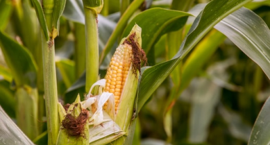
AI identifies crops from space with 90% accuracy
Agrimetrics launches CropLens AI, a proprietary algorithm that identifies crop types from space.
ClearSky: Cloud free satellite data for agriculture
ClearSky's artificial intelligence removes a major barrier to the efficacy of satellite
ClearSky: Cloud free satellite data for agriculture
ClearSky's artificial intelligence removes a major barrier to the efficacy of satellite
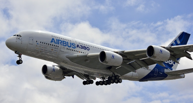
Agrimetrics partners with Airbus to reduce cost
Crop Analytics, a crop and field analytics package from Airbus, is now available at a new, lower price.
Sign up for Agrimetrics newsletter
To get regular updates on new data sets, tips, trends and case studies, please subscribe to the Agrimetrics newsletter.

