
Agrimetrics: A foundation for agri-food strategy
David Flanders, Agrimetrics’ CEO, explains how the big data centre provides tools to benchmark performance.

David Flanders, Agrimetrics’s CEO
Agrimetrics is adding value to data; curating it so that organisations can access it more easily and developing tools to enable them to better understand the interconnected challenges associated with the production, sourcing and consumption of food.
It was in 1747 that a military threat from the French provided the impetus to create a detailed map of England’s vulnerable south coast. The existing maps didn’t contain sufficient detail for moving troops and planning campaigns so a national map with a consistent scale was required and the Ordnance Survey was born.
Since those earlier days it has been accepted that the OS grid system underlies all our geospatial data. Information about pipelines, rights of way, parish boundaries are overlaid on to this universally recognised framework and points of interest are given references to locate them relative to the grid.
Making sense of data
Agrimetrics is aiming to create a contextual meaning for agri-food data so that individual data points can be given a sense of place. At the centre is Agrimetrics Data Platform, a knowledge engine that makes sense of the relationships between data. It can identify if the entity is a field, a crop or livestock, it can distinguish units such as millimetres of rainfall or tonnage of grain and it knows where the information has come from, a particular field, or parish. It describes the data and relates it to a location.
Agrimetrics has defined the core datasets that are essential for different agri-food applications.
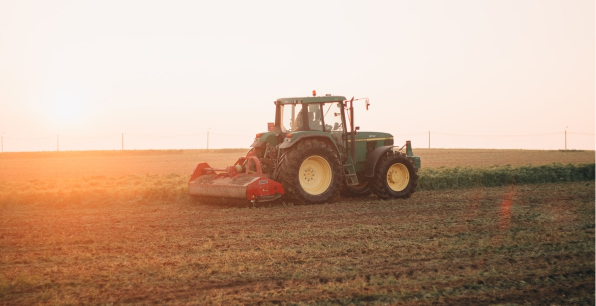
Much of this information has been collected over the years by public sector organisations or publicly funded programmes and includes: soil, meteorology, field boundaries, land use, environmental surveys. Agrimetrics is adding value to this data by curating it so that it is accessible to the people that need the information.

Searchable and accessible
Once the baseline information is in place and described, then more data can be added to it or ‘ingested’. The more information that it contains the greater value it will have for the users.
The British Library runs in a similar way. It purchases a copy of each book that is published, catalogues it and arranges the volume on a shelf so they are easy for users to locate. The content of the books is copyrighted and belongs to the owners and borrowers are permitted access on agreed terms.
At the moment agri-food data is kept in different formats, which means it is difficult to compare or to repurpose. By reshaping the data so that it is in a consistent format, Agrimetrics is making it available to developers. Once the data is made ‘open’ to other applications, multiple datasets can be used together in new ways.
Support for tools
Correctly analysed and interpreted data has value. The current challenge is that the people with the need for the information often lack the tools to make sense of the data.
So, just as the children’s toy ‘Lego’ works by having a standardised system of studs and sockets to slot widely differing pieces together, so does the Agrimetrics Data Platform. It has a clearly documented API (Application Programming Interface), which allows tools from different developers to plug in and use the data.
The Environment Agency did something similar when it made its three-dimensional Lidar images of flood plains accessible; the high quality information was quickly used by many, including by computer game developers to create cityscapes. An application far removed from the original intent, but a good example of how a consistent API can add value to data and stimulate enterprise.
“The Agrimetrics Data Platform has a clearly documented API which allows tools from different developers to plug in and use the data”.
Benchmarking
The dataset curated by Agrimetrics will include: soil maps, meteorological data, earth observation satellite data, land use data, market prices, yield data and field boundaries. This data will be continuously updated in real time from different feeds and more detail added as information from, for example, DEFRA and Natural England surveys are included. Agrimetrics is actively working to unlock other key public datasets and to supplement this with data from the private sector, for example national data on field and crops.
The clever part will come from deducing new information from different sources of data.

Making sense of data
Agrimetrics is adding value to data; curating it so that organisations can access it more easily and developing tools to enable them to better understand the interconnected challenges associated with the production, sourcing and consumption of food.
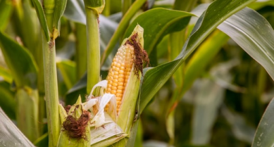
For example, it is well documented that there is a yield gap between what can be achieved in theory for a particular crop and what is produced in real life. The potential yield is based on a calculation, or algorithm, that takes into account soil fertility, solar radiation, available moisture and varietal performance.
Using the Agrimetrics Data Platform this type of algorithm can be used to determine the yield potential for a particular field. But yield is also impacted by weather conditions, time of sowing and rate of establishment, the disease threat and the timing of applications. Some of these factors are within the control of the farmer and others are not.
By making the underlying data accessible and creating an easy-to-use interface to add real world data, it will be possible for the farmer to benchmark their farm against industry data (aggregated and anonymised from other farms). The more farmers that use the system the more representative it will be of actual farming practice and the opportunities for on farm improvement will become apparent.
Agrimetrics Data Combine for decision support
Agrimetrics Data Combine is being developed as a proof of concept to allow farmers to play with the data and see what is useful to them. It is anticipated that device developers will see the potential to add their own value – improve the interface, create data visualisation techniques and integrate the data within their own information.
Other articles that might interest you
AI identifies crops from space with 90% accuracy
Agrimetrics launches CropLens AI, a proprietary algorithm that identifies crop types from space.
ClearSky: Cloud free satellite data for agriculture
ClearSky's artificial intelligence removes a major barrier to the efficacy of satellite
ClearSky: Cloud free satellite data for agriculture
ClearSky's artificial intelligence removes a major barrier to the efficacy of satellite

Agrimetrics partners with Airbus to reduce cost
Crop Analytics, a crop and field analytics package from Airbus, is now available at a new, lower price.
Sign up for Agrimetrics newsletter
To get regular updates on new data sets, tips, trends and case studies, please subscribe to the Agrimetrics newsletter.

